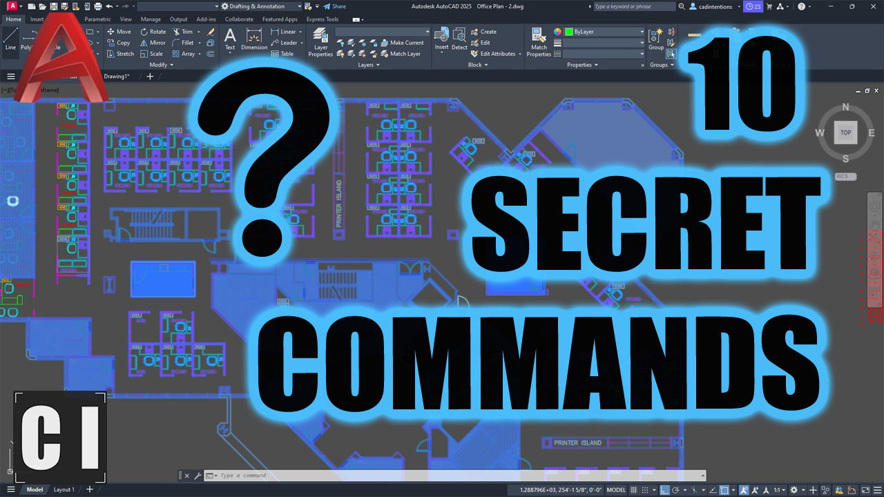
10 AutoCAD Commands You’ve Probably Never Used
Plus: an AI tool that converts aerial imagery into vector files.
Hey All,
I hope you’re having a great week and enjoying some warm summer weather!
Today and tomorrow we’re under a heat warning here (Forecast for ~39C/103F for the next couple days) and going to be doing our best to stay cool!
Luckily we work inside for the most part, and just last week I came across an interesting situation. I was helping a coworker clean up a bloated, slow .DWG file we just received from a client. Random Layers everywhere, XREF chaos, and way too much going on in the model space.
As we started fixing it, I used a few of my usual go-to commands in the process, chspace, LAYWALK, NCOPY, etc.. and my coworker immediately had questions, like I was doing magic.
Turns out, they had never heard of half the commands I use daily.
And that got me thinking: most AutoCAD users are only scratching the surface of what the software can actually do.
So this week’s newsletter is about the hidden gems—the commands and tricks that can save you hours once you know they exist.
Quick AutoCAD Tip
Use CHSPACE to move text or objects between model space and paper space,AutoCAD will automatically scale them to fit.
No more copy + paste + rescale guesswork.
Just type CHSPACE, select the objects, and hit enter. Boom—done.
Great for logos, titles, notes, or callouts you want to relocate to a layout.
10 Unknown AutoCAD Commands That Will Save You Hours
This is one of those videos I wish someone had shown me when I first started drafting.
Inside, I walk through 10 underrated (and often completely unknown) AutoCAD commands and shortcuts that help you:
Work faster with blocks and XREFs
Batch select and copy with precision
Fix performance slowdowns
Clean up layers and explore your drawing efficiently
Even seasoned users will pick up a few new tricks.
Watch it here: 10 Unknown AutoCAD Commands You’re Not Using (But Should Be)!
(You’ll probably find 2–3 that instantly improve your workflow.)
Tool of the Week:
Ecopia Tech – AI-Powered Feature Extraction from Aerial Imagery
Ecopia is a powerful AI platform that automatically extracts buildings, roads, vegetation, parcels, and other key GIS features from aerial imagery and satellite data.
If you work on site planning, civil layouts, or urban design—this is a game changer.
What it does:
Converts high-res aerial images into usable vector data
Automatically maps out features like buildings, roads, tree cover, and more
Outputs in formats compatible with AutoCAD, GIS, and CAD software
Why it’s awesome:
No more manually tracing from orthophotos. Just upload or request imagery, and get fully classified data in DWG/SHP formats ready for use in your site plan or base map.
Perfect for:
Preliminary designs
Infrastructure planning
Environmental or zoning overlays
Updating outdated base files in seconds
Check it out here:
It’s not perfect on every map, but when it works, it saves hours of tracing and cleanup.
Want to Get Even Faster in AutoCAD, Without Trial & Error?
I created my AutoCAD Fundamentals & Workflows Course to help you skip the guesswork and get straight to clean, fast, real-world drafting.
If you’re tired of redoing work or struggling with drawing organization, this will help.
Learn at your own pace
Includes DWG templates + bonus training
Workflows and Tricks from over 20 years of AutoCAD
Check it out here → https://cadintentions.com/hurry
That’s it for this week!
Let me know which command from the video was new to you, or reply and tell me your favorite “hidden gem” command. I might include it in next week’s issue!
Cheers and happy drafting,
Brandon
P.S. If you’ve got a teammate still using only LINE and TRIM… forward this to them 😉
They’ll thank you later.


